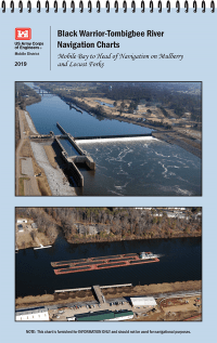
Current river charts begin in Demopolis to head of navigation. The charts contain imagery, bridge clearance tables, elevated and submerged crossings, and over 2000 known feature names and locations. All charts are current as of February 2020. As changes occur the PDF's will be updated and replaced. All files will be replaced and/or updated around the 1st of each year. The chart files are designed to be printed on 11 x 17 paper.
The Black Warrior/Tombigbee River Project has 6 locks and dams. The water areas above each of these is called a "pool". Pool levels may fluctuate due to local rain events but the pool's surface elevation should never fall below the "mean pool elevation", or M.S.L. These mean pool elevations (MSL's) can be found at the bottom of the BWT Shoaling Areas chart and used to calculate current water elevations when applied to existing local gage poles. Further explanation on how to do this can be found on any of the Bridge Reference charts (Br. Ref.) below.
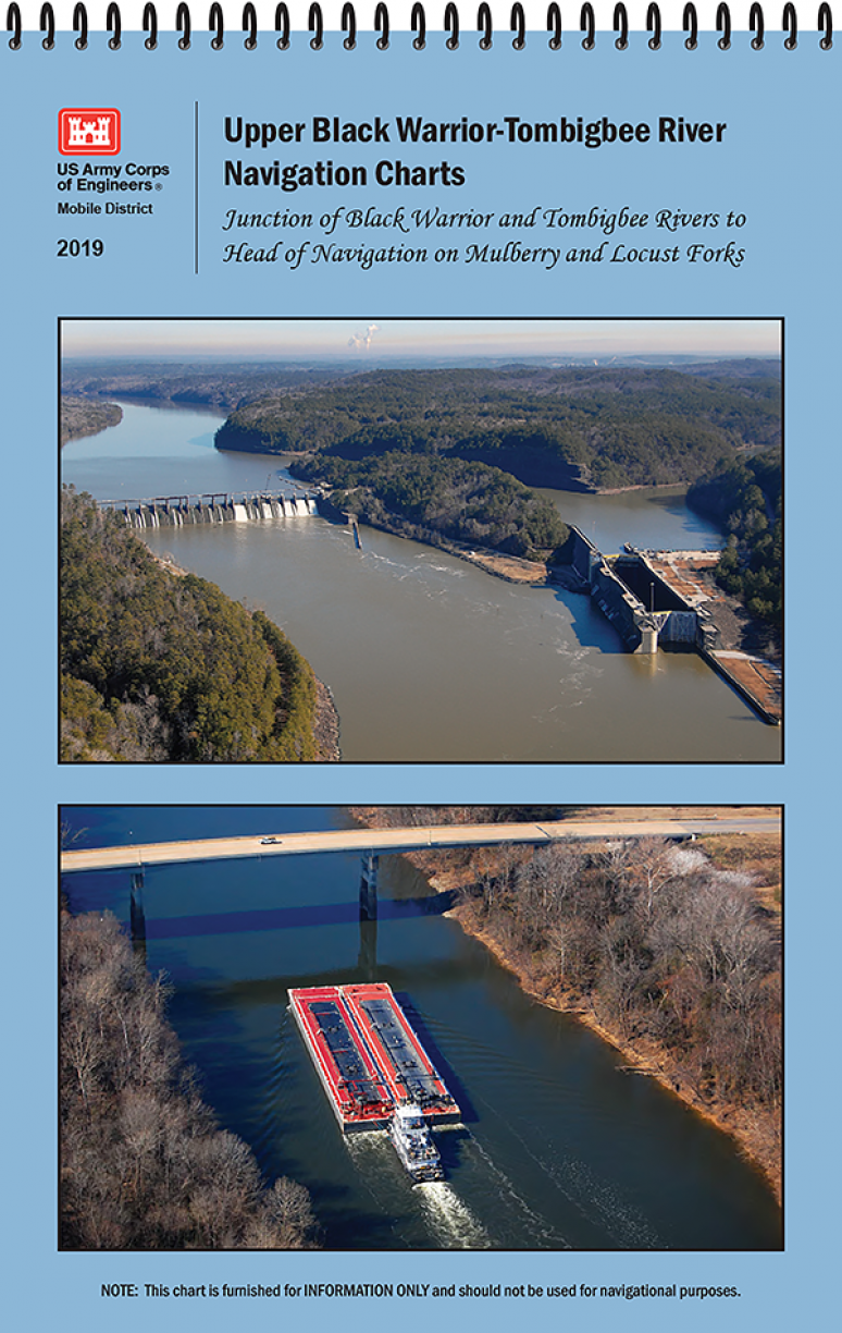
U.S. Army Corps of Engineers paper navigational chart books are published to benefit both the professional and recreational maritime community. These chart books are spiral bound with sturdy covers and are designed for heavy service on any bridge. Mariners will find not only navigational charts within the pages of this chart book, but critical navigational safety information such as information pertaining to buoys, vertical clearances under bridges, warning to pleasure boaters and fisherman to include restricted and danger area boundaries; locks and dams; signals, lockage of tows; moorings and more. Well defined chart legends, and multiple indices make this chart book more than a simple navigational tool.
The U.S Coast Guard requires that commercial vessels operating in the waters represented within the pages of this chart book maintain on-board "navigation charts or maps appropriate to the area of operation". This chart book fulfills that requirement. However, it is incumbent on mariners to manually update these products and U.S. Coast Guard Notice to Mariners for changes and notices impacting these waters.
Product Details
- Demopolis
- Black Warrior Navigational Chart
- Head of Navigation
- Tombigbee River