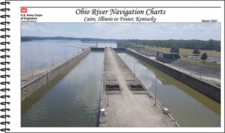
Title:
Ohio River Navigation Chart Cairo, Illinois To Foster, Kentucky Agency Publisher:
Format:
Spiral-bound
USA Price:
$51.00
Display Foreign Price
Stock:
In stock
GPO Stock Number:
008-022-00391-6
ISBN:
9780160955631
Description
This paper navigational chart book covers the Ohio River from Cairo, Ill to Foster, KY; It was published in 2021 and is 8.5” x 14” in size.
U.S. Army Corps of Engineers paper navigational chart books are published to benefit both the professional and recreational maritime community. These chart books are spiral bound with sturdy covers and are designed for heavy service on any bridge. Mariners will find not only navigational charts within the pages of this chart book, but critical navigational safety information.
Audience
Sailors, fishermen, and other boat owners would use this navigational chart at sea.
Product Details
Availability Details:
In Stock
USA Price:
$51.00
International Price:
$71.40
Key Phrases:
- USACE Navigational Charts
- Light Lists resources collection
- Navigation by water products
Quantity Price:
Discount
Cover:
Plastic
Unit of Issue (US):
1
Unit of Issue (Non-US):
1
Record Creation Date:
05/26/2021
Last Status Update:
07/16/2026