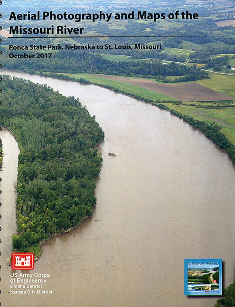
The Missouri River Recovery Program welcomes you to the Aerial Photography Maps of the Missouri River 2017 Edition. This map book traverses the stretch of the Missouri River from Ponca State Park in northeastern Nebraska to its confluence with the Mississippi River just north of St. Louis, Missouri.
In the summers of 2015 and 2016, the United States Department of Agriculture (USDA), through its National Agricultural Imagery Program, flew over the states of South Dakota, Nebraska, Iowa, Kansas and Missouri to collect richly detailed aerial photography. We have incorporated that agency’s imagery along with a host of other content to present you with a unique look at the Missouri River and some of the resources and locales that adjoin it.
Each page features U.S. Army Corps of Engineers’ River Miles that mark the distance from the confluence. Public lands, state, county and city names, adjoining levees, river fuel stops, bend and tributary stream names along with principal highway markers provide additional valuable content.
For your information and safety, we’ve included write-ups that address boating, water and weather safety, invasive, endangered and pollinator species. We’ve also included a small sample of the Lewis and Clark journals as a way to connect with our historical legacy and the river as it was so long ago.
The Missouri River Recovery Program Team hopes that you will enjoy this aerial photography map book and wishes you a safe and enjoyable experience in and along the Missouri River.
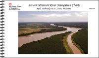
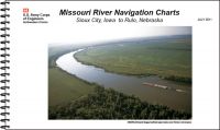
Sailors, fishermen, and other boat owners would use this navigational chart at sea.
Product Details
- Missouri River
- Aerial Photography
- Maps