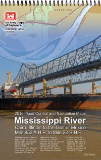
This paper navigational chart book covers the Mississippi River from Cairo, IL; Upper Mississippi River miles 866 to mile 0. It was published in 2020 and is 11” wide x 17” high in size.
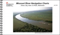
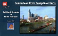
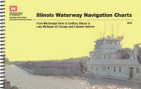
U.S. Army Corps of Engineers paper navigational chart books are published to benefit both the professional and recreational maritime community. These chart books are spiral bound with sturdy covers and are designed for heavy service on any bridge. Mariners will find not only navigational charts within the pages of this chart book, but critical navigational safety information such as information pertaining to buoys, vertical clearances under bridges, warning to pleasure boaters and fisherman to include restricted and danger area boundaries; locks and dams; signals, lockage of tows; moorings and more. Well defined chart legends, and multiple indices make this chart book more than a simple navigational tool.
The U.S Coast Guard requires that commercial vessels operating in the waters represented within the pages of this chart book maintain on-board "navigation charts or maps appropriate to the area of operation..." (46 CFR Subchapter M). This chart book fulfills that requirement. However, it is incumbent on mariners to manually update these products and U.S. Coast Guard Notice to Mariners for changes and notices impacting these waters.
Sailors, fishermen, and other boat owners would use this navigational chart at sea.